Fascinating interactive map. It’s the biggest and most complete resource of its kind, with thousands of castles, killings, kidnappings and other unsavoury deeds mapped out and annotated by the author - Andy Nairn.
Map | Andy Nairn
Being a decendant of boarder rievers I found it amazing.
Really good. Thanks.
Another interactive map this time for the London area, depicting the location were album covers were photographed and the associated band.
London Album Covers: Then & Now (1960s-1990s) – Google My Maps
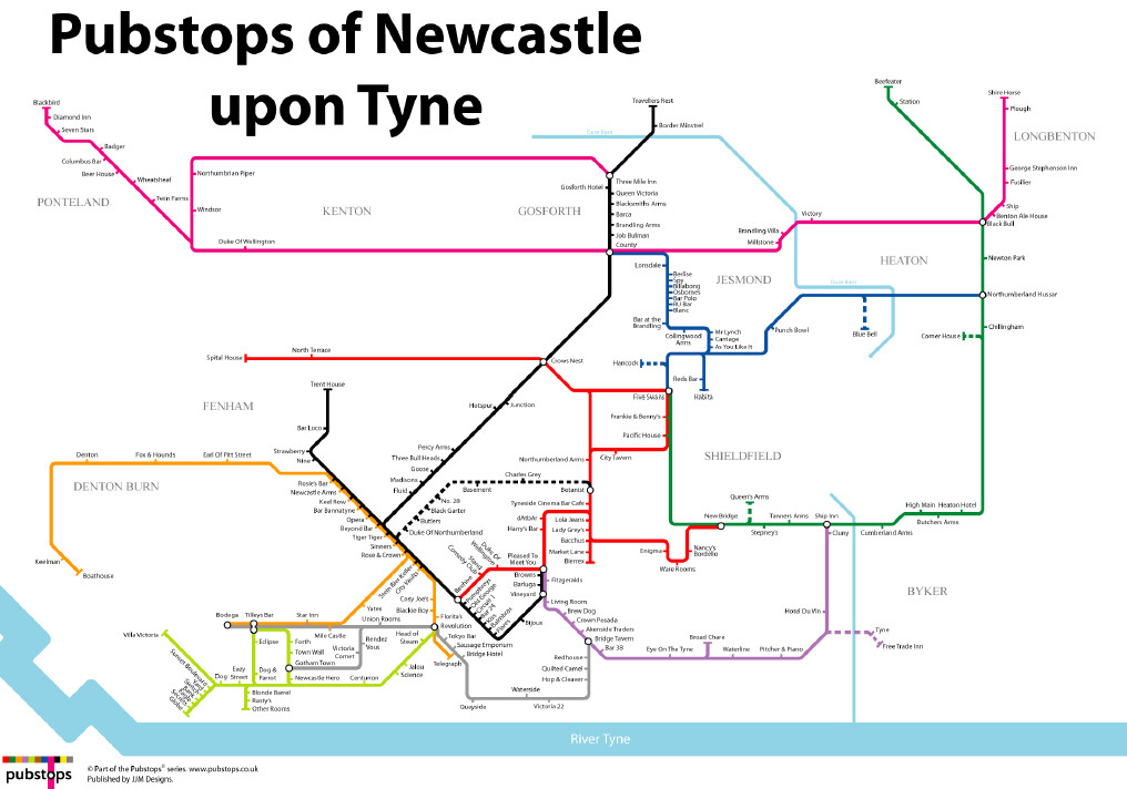
Ah, the “Blue Bell”. My, once upon a time, local.
Willy.
Fantastic. The Travellers Rest in Camperdown is about 50m from where my grandparents lived and the Three Mile Inn in Gosforth is just across the road from where my parents lived when they retired . Thanks for posting .
Small world Willy, eh!
Regularly walk the dog past there through Gosforth Park to see the deer.
Thanks for taking the time to reply - much appreciated.
Didn’t one of these pubs used to have a cow living in the cellar? Or is that the beer talking? ![]()
Absolutely right, it was the Dun Cow.
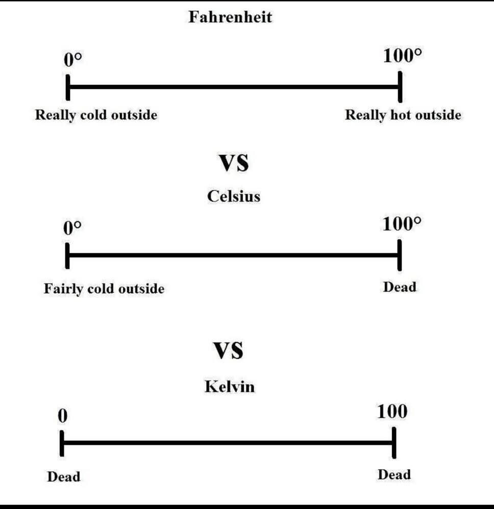
…which shouldn’t be a complete surprise.

Spot the error in that chart of World Champions?
2021??
No, much earlier…